
Student Watershed Monitoring Network
Investigate water quality, plant life and soil
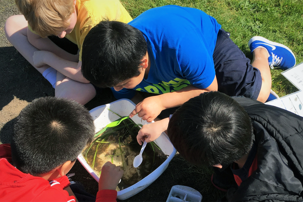
In 1997, we worked with a local retired educator to start the Student Watershed Monitoring Network (SWMN). The program trains students, teachers and chaperones to monitor water quality and habitat in creeks, lakes, wetlands and stormwater facilities.
About
Roughly 3,000 K-12 students participate each school year and contribute hundreds of hours of data collection to Clark County’s understanding and protecting of one of the community’s biggest assets: surface water. Monitoring often leads to action projects that protect the watershed and promote stewardship.
The Student Watershed Monitoring Network is aligned with Next Generation Science Standards (NGSS) and can be adapted to specific grade level needs. The Student Watershed Monitoring Network is supported by both the City of Vancouver and Clark County Clean Water Division.
A Teacher’s Monitoring Year-at-a-Glance
Mid-August through September
Schedule your introductory, in-class presentation and at least three monitoring visits throughout the school year with your SWMN educator. Don’t forget to join our annual teacher training, Kickoff, and earn OSPI-approved STEM clock hours.
September through December
Host your SWMN educator in your classroom for an introduction to the key components of the program and complete your class’ first monitoring trip.
October through April
Meet your SWMN educator at your monitoring site to engage in water quality testing, macroinvertebrate studies and/or soil and vegetation testing. Review your data with your class soon after your monitoring experience to prepare for your next field trip.
May or June
End the monitoring year with a culminating event that occurs in late spring. This is a chance for your students to share their knowledge and celebrate their hard work. For 22 years, roughly 250 students gathered at Washington State University Vancouver for a day of presenting and workshop activities called Watershed Congress. Since the pandemic, new ideas have been explored to offer a year-end wrap-up for students including an essay contest and a poster exhibit; stay tuned for details of what 2024 may bring!
For more information, please contact Rainy Rau, Water Resources Educator, via email or phone, rainy.rau@cityofvancouver.us or 360-487-7121.
Field Investigations
The following list includes 11 field investigations, under four content categories. Each investigation includes background information, pre- and post-field trip classroom lesson ideas and procedures to complete the investigation in the field with provided equipment. Please check back for updates, revisions and additions.
Site Survey
- Initial Site Assessment and Observations
- Photo-point Monitoring
Water Quality
- Temperature, pH and Dissolved Oxygen
- Nitrate and Phosphate
- Turbidity and Stream Measurements
Plant
- Riparian Zone Vegetation Survey
- Riparian Zone Tree Survey
Soil
- Soil Cores: Color, Texture and Moisture
- Soil Temperature, Moisture and pH
- Soil Permeability
- Erosion Sources and Soil Compaction
A grant from the Department of Ecology in 2013 provided expansion of student investigations to go beyond water quality parameters and to align them to Next Generation Science Standards. For more information about this grant and other past grants, please contact Rainy Rau, Water Resources Educator, at rainy.rau@cityofvancouver.us or 360-487-7121.
FieldScope Database
From 2018 to 2021, the Student Watershed Monitoring Network implemented a grant from the Lower Columbia Fish Recovery Board to build and maintain a water quality database to house decades worth of student-generated data. The database, FieldScope, is built on a platform created by BSCS Science Learning and can use student-collected data to generate useful visual representations of change over time. For more information about collected data, please contact Rainy Rau, Water Resources Educator, rainy.rau@cityofvancouver.us.